Frequently Asked Questions Regarding Land Surveying

What is a Professional Surveyor?

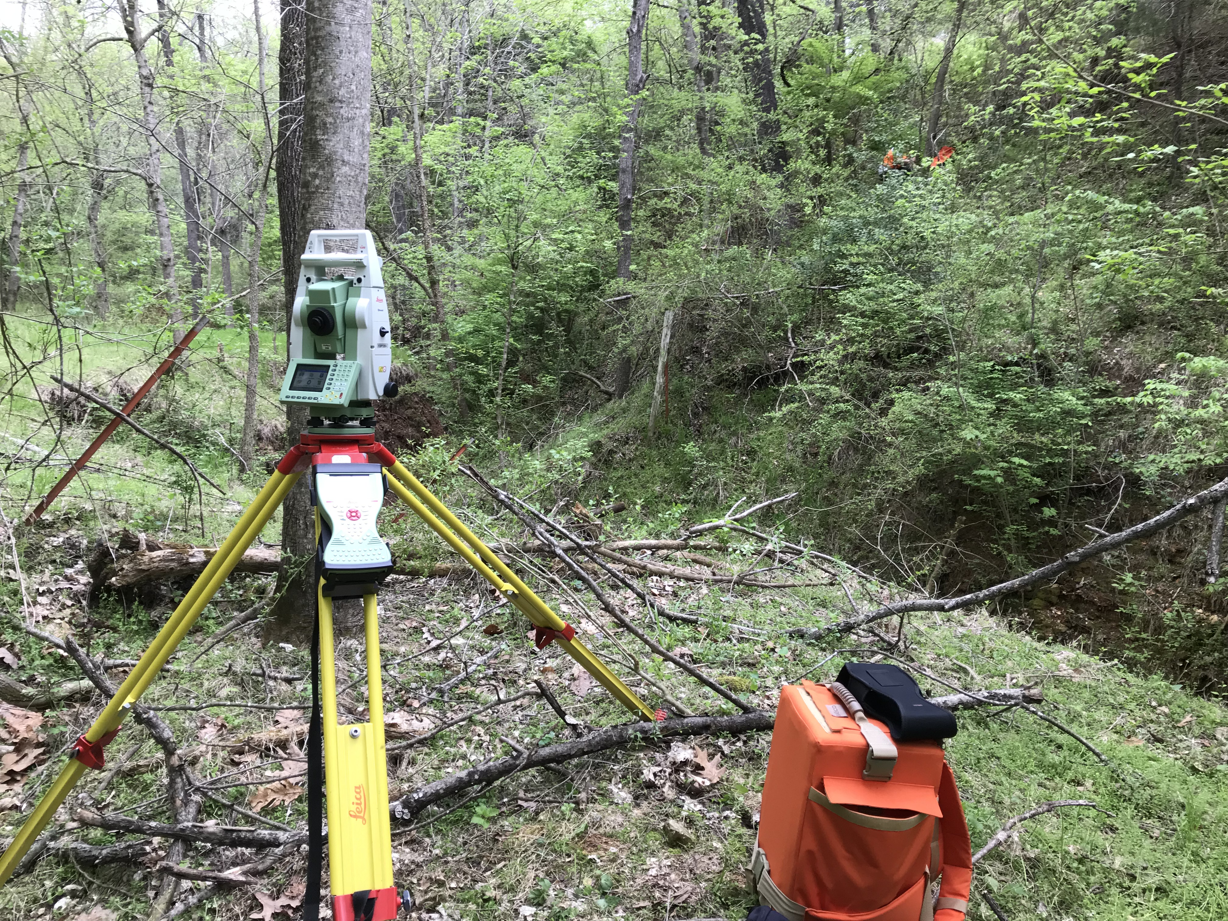
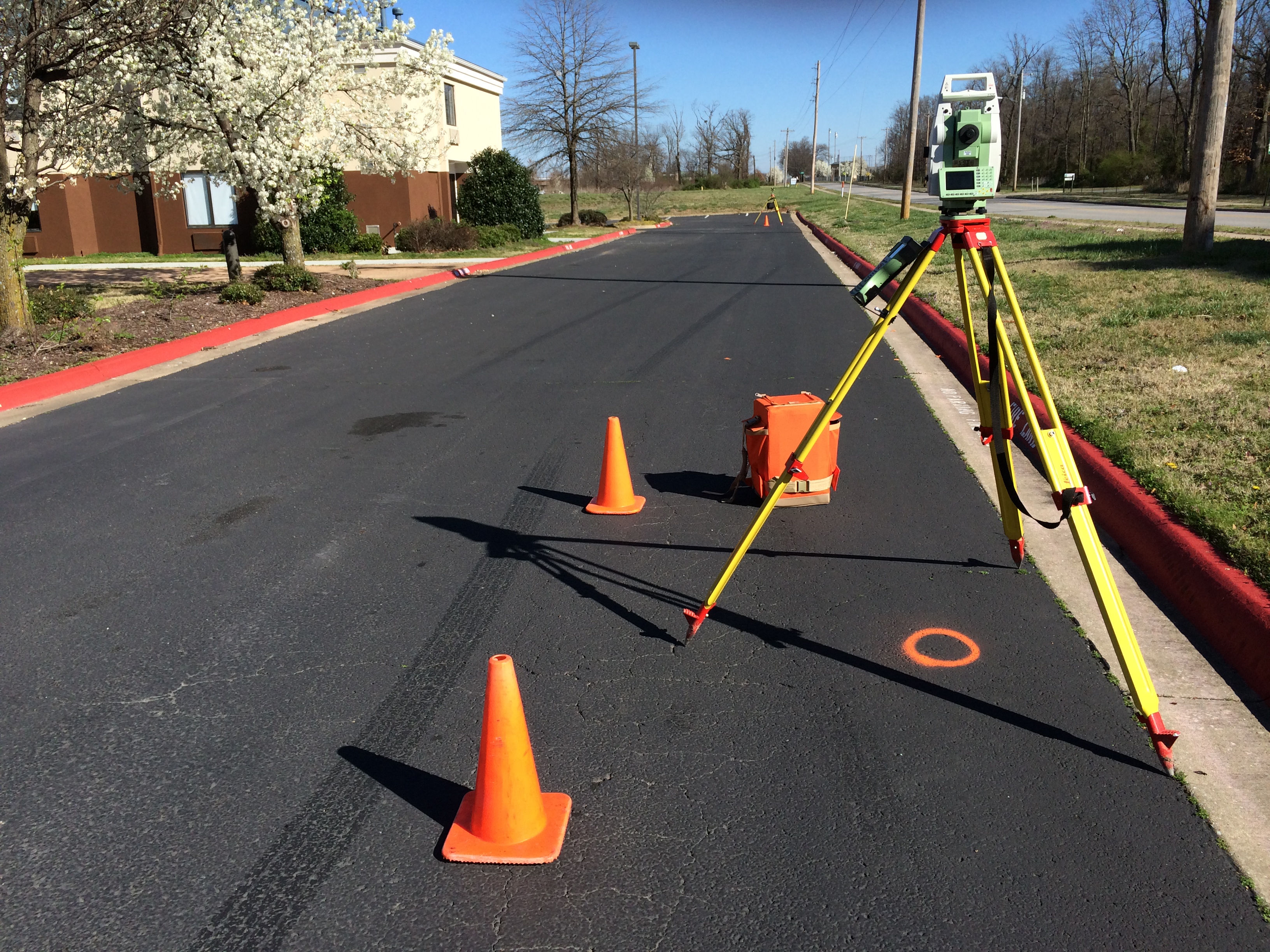
A Professional Surveyor is a person that has extensive knowledge and experience in areas such as math, advanced geometry, measuring techniques, mapping, technical electronic equipment, basic astronomy, history of the Public Land Survey System, property & case law, Geographic Information Systems (GIS) and the Global Positioning System (GPS) just to name a few! In most states, a person is required to have a college degree or to have an approved level of experience, pass a national Fundamentals of Surveying Exam, at least two years intern under a licensed surveyor, pass a national Principles and Practice of Surveying Exam and in most states also pass a state exam, all to become a Professional Surveyor (PS). Projects completed by a PS often require a significant amount of research in land records, previous surveys, local maps, flood areas, testimony from local, knowledgeable residents (old timers) and court documents. After research comes the easy part that most people associate with surveyors, measuring! After the measurement process comes the analysis of survey data, interpretation of documents & facts, professional judgment and finally, drafting a survey plat. In summary, a Professional Surveyor is far more than just an expert measurer! For more information about what professional surveyors do or for becoming a surveyor, please visit this link www.beasurveyor.com.

What is the purpose for the Elevation Certificate?

The Elevation Certificate is an important administrative tool of the National Flood Insurance Program (NFIP). It is to be used to provide elevation information necessary to ensure compliance with community floodplain management ordinances, to determine the proper insurance premium rate and to support a request for a Letter of Map Amendment (LOMA) or Letter of Map Revision based on fill (LOMR-F). The Elevation Certificate is required in order to properly rate post-FIRM buildings, which are buildings constructed after publication of the Flood Insurance Rate Map (FIRM), located in flood insurance Zones A1-A30, AE, AH, A (with BFE), VE, V1-V30, V (with BFE), AR, AR/A, AR/AE, AR/A1-A30, AR/AH and AR/AO. The Elevation Certificate is not required for pre-FIRM buildings unless the building is being rated under the optional post-FIRM flood insurance rules.

Not all Elevation Certificates require a Professional Surveyor, Professional Engineer or Architect to complete. If your property lays within Zone AO or Zone A without a BFE established (Base Flood Elevation), then anyone can legally complete the certificate. However, flood insurance policies in approximate Zone A areas that are rated using a BFE (survey required) will often qualify for significantly lower insurance rates than policies that are rated without a BFE. The difference in flood insurance premiums could be substantial. You can download the FEMA rate tables by clicking on this highlighted link. The BFE is the computed elevation to which floodwater is anticipated to rise during the base flood (the flood having a one percent chance of being equaled or exceeded in any given year, also referred to as the "100-year flood"). The relationship between the BFE and a structure's elevation determines the flood insurance premium.
Zone AE is the flood insurance rate zone that corresponds to the 1-percent-annual-chance floodplains that are determined by detailed methods (actual field survey completed).

Zone A is the flood insurance rate zone that corresponds to the 1-percent-annual-chance floodplains that are determined by approximate methods (no BFEs established in this zone).

Zone X is the flood insurance rate zone that corresponds to areas outside the 0.2-percent-annual-chance floodplain, areas within the 0.2 percent-annual-chance floodplain, areas of 1-percent-annual-chance flooding where average depths are less than 1 foot, areas of 1-percent-annual-chance flooding where the contributing drainage area is less than 1 square mile and areas protected from the 1-percent-annual-chance flood by levees. No BFEs or depths are shown within this zone.

For a more detailed and technical explanation of the Elevation Certificate process, please click on the "FEMA FIS for Benton County" link.

2016-03-14 10.33.10

When is a survey usually needed?

BEFORE a boundary line dispute arises.
BEFORE title in land is transferred.
BEFORE a building or fence is built near a property line.
BEFORE land is subdivided.
BEFORE land is developed for construction of buildings, roads, fences or other types of improvements.
BEFORE a lot is to be conveyed from a larger tract.

What can a land surveyor do for you?

Set monuments at your property corners and mark them so they can be easily found.

Study your property description and show you what, in his professional opinion, the records and facts indicating the boundaries of your land to be.
Advise you if there is any apparent defect in your land description or evidence of encroachment.

Prepare a survey plat of your property, indicating the measurements he has made, the type of monuments placed and any other information you requested.

Locate buildings, fences, rights-of-way, utilities and any evidence of possession or encroachment.

Help you plan and layout a subdivision into lots and streets.

Write a legal description when land is to be divided.

Cooperate with your attorney, realtor, banker, engineer or architect.

File a copy of his survey with the local & state government offices as required by law.

Provide you with a topographic survey plat that shows property boundary lines, contour lines, improvements,&nbsp utilities and trees.

Provide you with a FEMA "Elevation Certificate" to be used for determining the rate of flood insurance required.

What does the land surveyor need from me?

A copy of your deed or your tax parcel number.

The purpose for your survey with as much detail as possible.

Any survey plats or information about the location of your property corners.

A brief history of ownership of your parcel.

Your contact information.

Any other information you believe is pertinent to your project.

How much will a land survey cost?

Most land surveyors charge either a lump sum fee or by the hour, depending on the type of work to be performed. The cost of the survey is dependent upon many factors such as the type of survey required, foliage conditions, the availability of existing records, the type of terrain, planning commission or other agency requirements if any, weather conditions and the surveyor's familiarity with the area. Because of these factors, it is often difficult to determine an accurate cost before detailed research is completed.

To reduce the possibility of a misunderstanding, the surveyor may request you to sign an agreement that includes a description of the work to be performed, a lump sum fee or hourly rate and terms for payment.

The land surveyor renders a highly technical and complex service. In cases of controversy, he appears as your expert witness, if necessary. In order to protect the public from inferior land surveying, the Arkansas Division of Land Survey has prescribed "Minimum Standards for Property Boundary Surveys." These Standards describe required procedures for the survey and the minimum information to be provided to the client.

Before engaging the services of a Land Surveyor, the client should verify current registration and insist on compliance with state minimum standards before engaging his or her services. Questions or complaints about a Land Surveyor can be addressed to the Arkansas State Land Surveyor in Little Rock at (501) 683-1666.